National Forest land · Oklahoma
Ouachita National Forest
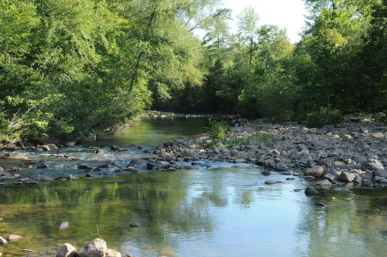
Ouachita National Forest is listed in PAD-US 4.1 as roughly 353,354 acres (the portion in this state) in Le Flore County, McCurtain County, Oklahoma (National Forest land), managed by the U.S. Forest Service (USDA). It may allow hunting, but PAD-US does not say so — confirm with the managing agency.

Area details
| Approx. size | 353,354 acres (Oklahoma portion) |
|---|---|
| Manager | U.S. Forest Service (USDA) Listed in PAD-US as: Forest Service Region 08 Southern |
| Manager type | Federal |
| Designation | National Forest |
| Public access (PAD-US) | Open access PAD-US definition: “requires no special requirements for public access to the property (may include regular hours of availability).” |
| County | Le Flore County, McCurtain County |
| Reference point | 34.23353, -94.83144 A point inside the area — not an entrance or parking lot. Google Maps · OpenStreetMap |
| Source records | 2 PAD-US records combined |
Before you hunt here
- Regulations, seasons and licenses: check with Oklahoma Department of Wildlife Conservation. This site does not list regulations.
- Managing agency: U.S. Forest Service: hunting on national forests
- Boundaries: PAD-US boundaries are approximate and simplified here. Use the agency’s official maps and respect adjacent private land.
This unit also extends into: Arkansas. Acreage on this page covers the Oklahoma portion only.
Nearby public land (within 30 miles)
- State wildlife / game area
Broken Bow Wildlife Management Area
4,774 acres · 11.6 mi away
State: fish and wildlife agency
Restricted access - State wildlife / game area
Pine Creek Wildlife Management Area
8,656 acres · 19.9 mi away
State: fish and wildlife agency
Restricted access - National Wildlife Refuge
Little River National Wildlife Refuge
14,250 acres · 20.1 mi away
U.S. Fish and Wildlife Service
Restricted access - Army Corps of Engineers project land · Arkansas
Dequeen Recreation Area
7,450 acres · 26.6 mi away
U.S. Army Corps of Engineers
Open access
Distances are straight-line between reference points, not driving distance.
Source: PAD-US 4.1 (USGS), records for “Ouachita National Forest” in Oklahoma combined into one listing. How listings are built. Spotted an error? PAD-US is maintained by USGS with data from the managing agencies.