National Forest land · Tennessee
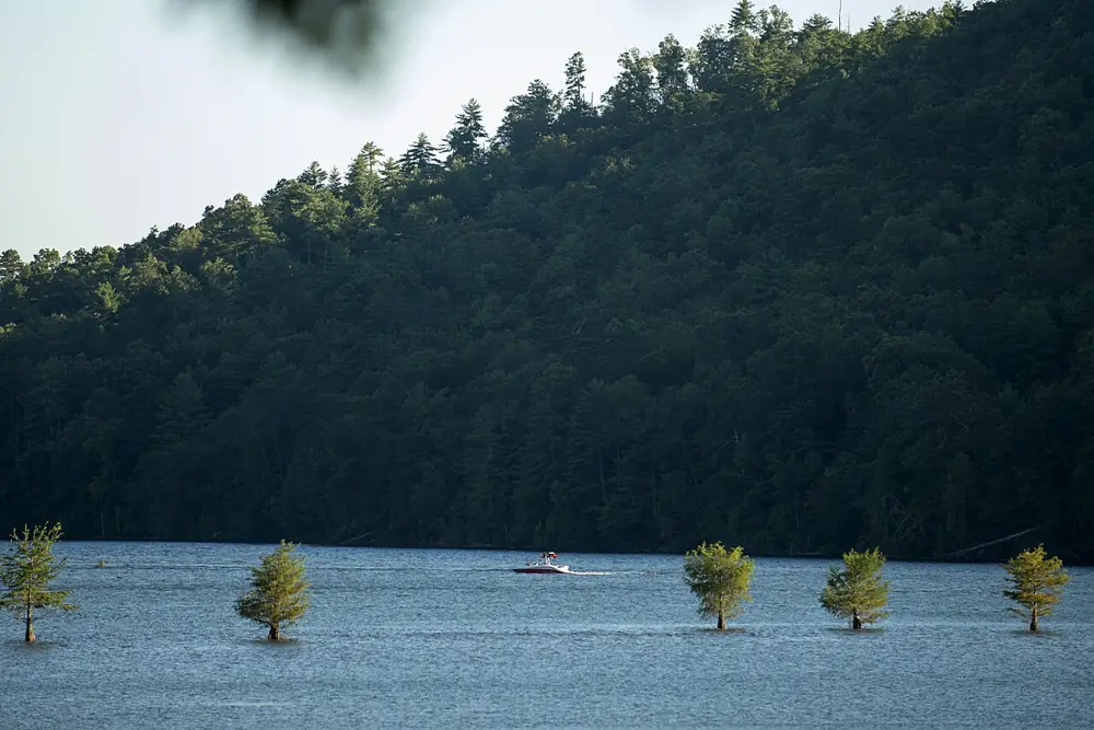
Cherokee National Forest
Cherokee National Forest is listed in PAD-US 4.1 as roughly 660,829 acres (the portion in this state) in Monroe County, Polk County + 8 more, Tennessee (National Forest land), managed by the U.S. Forest Service (USDA). It may allow hunting, but PAD-US does not say so — confirm with the managing agency.

Area details
| Approx. size | 660,829 acres (Tennessee portion) |
|---|---|
| Manager | U.S. Forest Service (USDA) Listed in PAD-US as: Forest Service Region 08 Southern |
| Manager type | Federal |
| Designation | National Forest |
| Public access (PAD-US) | Open access PAD-US definition: “requires no special requirements for public access to the property (may include regular hours of availability).” |
| County | Monroe County, Polk County, Carter County, Unicoi County, Cocke County, Johnson County, Greene County, Sullivan County, Washington County, McMinn County |
| Reference point | 35.26555, -84.13888 A point inside the area — not an entrance or parking lot. Google Maps · OpenStreetMap |
| Source records | 1 PAD-US record combined |
Before you hunt here
- Regulations, seasons and licenses: check with Tennessee Wildlife Resources Agency. This site does not list regulations.
- Managing agency: U.S. Forest Service: hunting on national forests
- Boundaries: PAD-US boundaries are approximate and simplified here. Use the agency’s official maps and respect adjacent private land.
This unit also extends into: North Carolina. Acreage on this page covers the Tennessee portion only.
Nearby public land (within 30 miles)
- National Forest land
Nantahala National Forest
53 acres · 3 mi away
U.S. Forest Service (USDA)
Open access - State wildlife / game area
South Cherokee National Forest & Wildlife Management Area
128,959 acres · 17.3 mi away
Joint management
Restricted access - State wildlife / game area
South Cherokee Wildlife Management Area
1,029 acres · 19.6 mi away
State: fish and wildlife agency
Restricted access - State wildlife / game area
William L. Davenport Refuge
107 acres · 20.8 mi away
State: fish and wildlife agency
Restricted access - TVA reservoir land
Tellico Lake - Chota Unit
242 acres · 20.8 mi away
Tennessee Valley Authority
Open access - State wildlife / game area
Fourth Fractional Township Wildlife Management Area
655 acres · 22.4 mi away
State: fish and wildlife agency
Restricted access - State wildlife / game area
Kyker Bottoms Wildlife Management Area
582 acres · 23.4 mi away
State: fish and wildlife agency
Restricted access - State wildlife / game area
Foothills Wildlife Management Area
9,237 acres · 24.3 mi away
State: fish and wildlife agency
Restricted access - State wildlife / game area
Tellico Lake Wildlife Management Area
5,872 acres · 25.5 mi away
State: fish and wildlife agency
Mixed (open and restricted parcels) - National Forest land · North Carolina
Nantahala Purchase Unit
701 acres · 27.5 mi away
U.S. Forest Service (USDA)
Open access
Distances are straight-line between reference points, not driving distance.
Source: PAD-US 4.1 (USGS), record for “Cherokee National Forest” in Tennessee combined into one listing. How listings are built. Spotted an error? PAD-US is maintained by USGS with data from the managing agencies.